Our Expertise
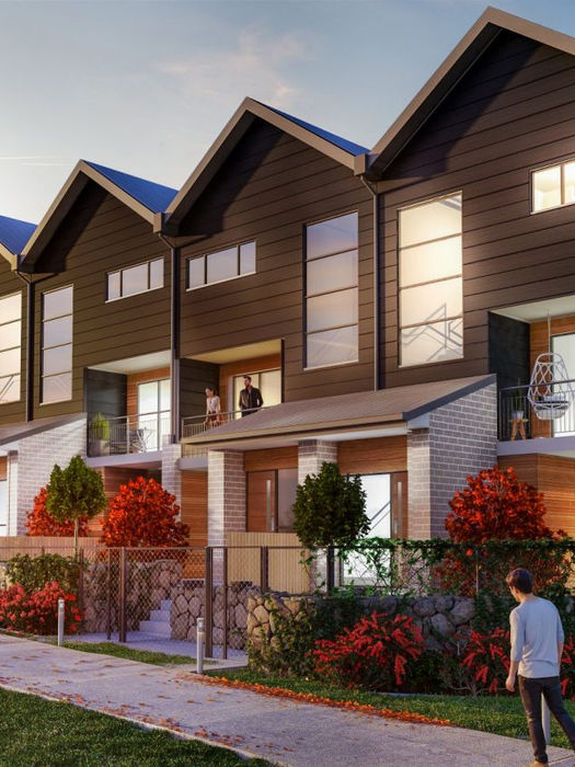
3D Visualisation

Marketing imagery for property & real estate.
High resolution & georeferenced mapping.
Elevation mapping.
Repeatable flight paths (track progress).

Visually engaging.
Demonstrate project vision.
Provide transparency to key stakeholders.
Attract support & investment.
Highlight key project information.
2D & 3D graphics.
Optional voiceovers & soundtrack.
Powerful marketing tool.
Interactive panoramas.

Geospatial data.
Contours & CAD files.
Digital Surface Model (features included).
Digital Terrain Model (bare earth).
Reality mesh modelling.
Digital twin foundation.
High level of detail.
Photogrammetry & LiDAR.
Cost & time efficient.
Accessible online.
User-friendly platforms.
Map remote or challenging topographies.
Inform design & strategy.

Flythroughs & walkthroughs.
Unique & innovative visualisation.
Immersive user experience.
Import CAD & 3D assets.
Solar, glare & reflection assessments.
Connect to global maps.
Digitally identify risks & opportunities.
Weather & seasonal simulations.
Real-time photorealistic rendering.
Console controllable navigation.


